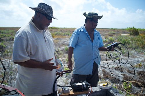
Palau wins 3rd prize for water and climate change film
Thursday, 16 December 2010 15:26
administrator
A SOPAC produced film looking at the connections between climate change and water has won third place at an international short film competition run during the recent 16th Conference of Parties to the United Nations Framework Convention on Climate Change (COP 16) in Cancun, Mexico.
The film, “Modern Day Uab”, was created in partnership with Palau’s Roll’em Productions, and combines animation and interviews to link traditional Palauan folklore to the challenges Micronesia faces to protect its water supplies from increased climate variability. The video was presented to thousands of participants in the “Dialogues for Water and Climate Change” session at COP 16.
Last Updated on Tuesday, 03 May 2011 16:58
Read more...
|
Satellite technology improves Electricity Authority operations
Wednesday, 08 December 2010 09:42
administrator
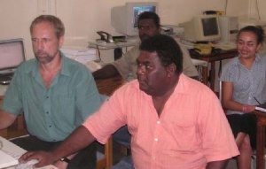 “Satellite technology has made an enormous improvement to our operations,” said Mr Robinson Wood, GIS Supervisor, Solomon Islands Electricity Authority (SIEA). “Satellite technology has made an enormous improvement to our operations,” said Mr Robinson Wood, GIS Supervisor, Solomon Islands Electricity Authority (SIEA).
In Suva recently to participate in the week long Geographical Information Systems (GIS)/Remote Sensing User Conference held at the Holiday Inn, Mr Wood said that his involvement with GIS began in 1998, when European Union funding made it possible for the Authority to acquire its first equipment and software as the basis of developing the use of GIS in the organization.
Last Updated on Wednesday, 08 December 2010 09:46
Read more...
Regional governments encouraged to use satellite data
Monday, 06 December 2010 07:16
administrator
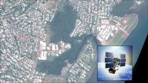 SOPAC member countries have been encouraged to use satellite image data as an essential tool to help in national development, management, security, and protection. SOPAC member countries have been encouraged to use satellite image data as an essential tool to help in national development, management, security, and protection.
Dr. Wolf Forstreuter, SOPAC’s GIS and Remote Sensing Unit Specialist, said that there were a number of applications that would be of “significant benefit to the countries once they had a better understanding of how to utilize satellite image data.”
Dr. Forstreuter said that most of the data sent from a satellite is used in Geographic Information Systems (GIS) that map targeted areas where a country requests specific information.
Last Updated on Tuesday, 03 May 2011 16:58
Read more...
|
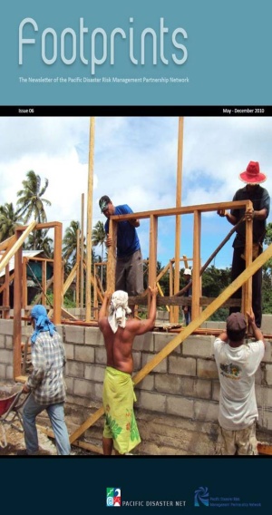
Footprints - The Newsletter of the Pacific Disaster Risk Management Partnership Network - May to December 2010
Friday, 03 December 2010 13:36
administrator
 I bid all our readers ‘Seasons Greetings’ as we move closer to Christmas in 2010. This has been another busy year and the Pacific DRM Partnership Network continues to evolve and provide services and support to the Pacific island countries to address issues of vulnerability and risk. I bid all our readers ‘Seasons Greetings’ as we move closer to Christmas in 2010. This has been another busy year and the Pacific DRM Partnership Network continues to evolve and provide services and support to the Pacific island countries to address issues of vulnerability and risk.
So much has been done by so many in 2010 and we hope to bring you some of the exciting stories in this issue of ‘Footprints’. As we wind down this year and move into 2011 there will be a number of changes that will be experienced. SOPAC as an independent regional intergovernmental organisation will from 1st January cease to function as a separate organisation and becomes the ‘Applied Geoscience and Technology Division of the Secretariat of the Pacific Community (SPC).
Last Updated on Friday, 03 December 2010 13:41
Read more...
Tuvalu acts to climate proof its people
Wednesday, 01 December 2010 09:27
administrator
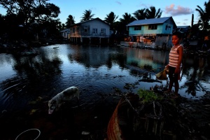 The small Polynesian island nation of Tuvalu has been the focus of climate change impacts for years. The four reef islands and five true atolls that make up Tuvalu only just break the surface of the surrounding Pacific Ocean and have an average height of 1 metre above sea level. Tuvalu’s geography and location poses many challenges to the people that live there. The small Polynesian island nation of Tuvalu has been the focus of climate change impacts for years. The four reef islands and five true atolls that make up Tuvalu only just break the surface of the surrounding Pacific Ocean and have an average height of 1 metre above sea level. Tuvalu’s geography and location poses many challenges to the people that live there.
The atolls are regularly inundated by high tides and storms and freshwater is scarce. The contamination of groundwater from septic pollution, salt water intrusion and piggeries means rainwater is the only reliable source of drinking water. Population growth and development has resulted in food security issues and problems with waste management.
Last Updated on Wednesday, 01 December 2010 11:59
Read more...
|
|
|
|
|
|
Page 60 of 74 |
 News & Media Releases


