SPC Geoscience Division

Home News & Media Releases Latest Footprints - The Newsletter of the Pacific Disaster Risk Management Partnership Network - May to December 2010

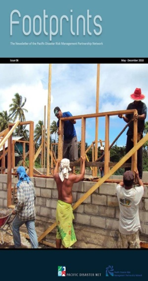
Footprints - The Newsletter of the Pacific Disaster Risk Management Partnership Network - May to December 2010

E-mail Print PDF

I bid all our readers ‘Seasons Greetings’ as we move closer to Christmas in 2010. This has been another busy year and the Pacific DRM Partnership Network continues to evolve and provide services and support to the Pacific island countries to address issues of vulnerability and risk.

So much has been done by so many in 2010 and we hope to bring you some of the exciting stories in this issue of ‘Footprints’. As we wind down this year and move into 2011 there will be a number of changes that will be experienced. SOPAC as an independent regional intergovernmental organisation will from 1st January cease to function as a separate organisation and becomes the ‘Applied Geoscience and Technology Division of the Secretariat of the Pacific Community (SPC).

This transition helps to fulfil the decision of Pacific island Leaders in terms of the Regional Institutional Framework reforms that have been undergoing implementation over the course of the past 2 years. SOPAC now becomes part of a bigger organisation but our commitment to DRM capacity building and institutional strengthening in the Pacific region is just as strong as it ever was.

We look forward to the opportunities that 2011 will bring and to working closer with all our partners and with our colleagues in the Pacific island countries to help build the resilience of our region.

I hope your enjoy this issue.


Mosese Sikivou
Programmer Manager - Disaster Reduction Programme

Read Full Issue

Last Updated on Friday, 03 December 2010 13:41  

Newsflash

12th November, 2013 – Around 150 Geographic Information System and Remote Sensing (GIS/RS) users and stakeholders from around the Pacific region will gather in Suva next week for the 2013 Pacific GIS/RS User Conference. The Conference runs from Monday 18th November to Friday 22nd November.

This year’s theme of the conference is “Connecting the Pacific with Maps”. Cutting edge advancements in GIS/RS technologies will be presented and discussed in-depth as well as an array of applications including the management of resources in small island Pacific nations.  

GIS is a computer-based tool used to collect, combine and overlay information in the form of easily understood maps constructed from up-to-date satellite images and field data.  Whereas, remote sensing is the collection of information from afar using sensors on aircraft, satellites, ships and other vessels. Together, the two can be used to make critical decisions about the physical and built environment.

The conference will be opened by Professor Michael Petterson, Director of Applied Geoscience and Technology Division, Secretariat of the Pacific Community (SPC).

“SPC recognises the power and versatility of GIS and its ability to combine, synthesise, model and present disparate geographical data sets. The demand for GIS and its applications to Pacific Development grows year on year. In a similar vein satellite and airborne data improves in quality and resolution at a frightening pace. The increasing usage of this powerful imagery and data allows rapid and accurate assessments of resources, land use, and environmental issues as never before. SPC is proud to be part of such a modern and forward looking meeting and welcomes all delegates to come and assist with the Pacific development agenda”, Professor Petterson commented.

Current and upcoming trends in the geographic technology fields such as LiDAR (light detection and ranging), Unmanned Aerial Vehicles (UAV), recent progress in vegetation and land cover mapping, improvements in satellite technologies, applications in disaster reduction and climate change adaption, web mapping and open source software will be discussed during the conference.