


Kim Hagen
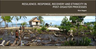
On 2 April, 2007 the Solomon Islands were hit by an 8.1 Magnitude earthquake and subsequent tsunami. The tsunami, in particular, wrought extensive damage amongst communities inhabiting the western part of the country, and was responsible for 50 of the 52 casualties. Ghizo Island was one of the islands hit the hardest. The Gilbertese ethnic minority living on Ghizo suffered from the disastrous impacts of the hazards; a disproportionally high number of Gilbertese people died and those who survived faced large difficulties in trying to cope with the immediate aftermath of the earthquake and tsunami. One of the main findings of research carried out on Ghizo in 2011, 2012, and 2013 was that, as a result of learning from these experiences, the Gilbertese survivors made changes in their socio-cultural fabric to make themselves more resilient to future disasters.
This paper presents an account of how differences in ethnic communities’ responses to hazards faced shaped differences in their trajectories of recovery. To aid the understanding of the findings presented, the context of research and methodology used are briefly described below. It is followed by an account of the differences in responses between the Melanesian ethnic majority and the Gilbertese ethnic minority, and the implications these differences had for the longer-term socio-cultural recovery of the Gilbertese survivors. The final section presents the conclusion along with recommendations for research and developing effective disaster risk reduction strategies.

