SPC Geoscience Division

Home News & Media Releases Latest Documentary: Lifuka Island – The Coastline of a Future Pacific

Documentary: Lifuka Island – The Coastline of a Future Pacific

E-mail Print PDF

In May 2006 a magnitude 7.9 earthquake caused the western coastline of Tonga’s Lifuka Island to subside by 23cm.  After this unique event Lifuka was chosen as part of a regional effort to understand how vulnerable Pacific Island communities can adapt to the impacts of rising sea levels.

The Australian-funded Pacific Adaptation Strategy Assistance Program enabled scientists to work closely with the Lifuka community to determine three main adaptation options: planned migration inland; sand replenishment and; the construction of an engineered revetment or seawall.

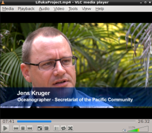
This film, which follows on from the first documentary ‘Rising Oceans: Changing Lives’, examines Lifuka’s struggle to make the tough choices needed to adapt to the changing coastline of a future Pacific.

WATCH NOW | DOWNLOAD (86Mb)

END.

Last Updated on Tuesday, 10 September 2013 14:17  

Newsflash

31st August 2012 - A study of tropical cyclones and associated wave action is providing information that can be used to assess the resilience of Mangaia, the most southern of the Cook Islands, to the impacts of climate change and sea level rise.

Mr Jens Kruger of the Secretariat of the Pacific Community (SPC) said that with coastal communities, private property, family homes and public infrastructure, such as the harbour, already exposed to extreme weather events, the recent study will help to support a risk-based approach to climate change adaptation.

Mr Kruger is the Physical Oceanographer with SPC’s Oceans and Islands Programme in the Applied Geoscience and Technology (SOPAC) Division.

He explained that data gathered during the study can be used to develop models of different scenarios to assess how changes in the climate and sea level would affect the frequency, magnitude and extent of coastal inundation on the island of Mangaia.

The data were collected by a team from SPC/SOPAC, the Cook Island's Ministry of Infrastructure and Planning, and New Zealand’s National Institute of Water and Atmospheric Research.

The research is part of the Pacific Adaptation to Climate Change project, funded by the Global Environment Facility through UNDP Samoa and SPREP (Secretariat of the Pacific Regional Environment Programme). The project involves 14 Pacific Island countries including Cook Islands.

‘A key outcome of the study has been the Cook Islands Coastal Calculator, an engineering spreadsheet that can be used to provide information on waves and water levels at the shoreline, wave run-up and the resulting inundation,’ said Mr Kruger.