


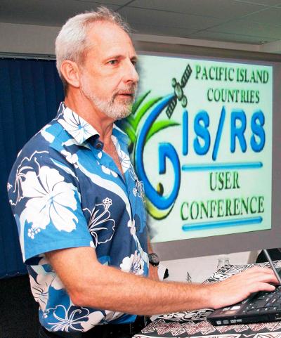
More than 150 delegates from around the world will meet in Suva next week (27) to participate in a GIS conference that will explore developments in this new science “that is already influencing the way we live our lives,” according to Wolf Forestrueter, SPC/SOPAC, Division Senior Officer GIS/RS Adviser
Held at the Holiday Inn, the 2012 Pacific Island Countries Geographic Information System (GIS) and Remote Sensing User (RS) Conference has chosen at its theme, “Mapping Pacific Resources” as an endorsement of the work undertaken in the region that profiles an array of applications including the management of resources of the small island Pacific nations.
GIS is a computer-based tool used to collect, combine and overlay information in the form of easily understood maps constructed from up-to-date satellite images and field data. Remote sensing is the collection of information about earth at a distance from aircraft or satellite.
“The GIS technology is already being used to map landslides, detect vegetation change, map town boundaries, map impacts of sea level rise. It has proven useful in the helping utilities and transportation better define their resources.
“The public might be more familiar with results closer to home where many smart phone applications and social media tools combine data with maps to deliver unique new services to consumers, Goggle Earth is an example,” said Mr. Forestrueter.
The four-day conference will feature GIS and remote sensing scientists and technicians to explore new developments and how they may apply to improving the lives of the people in region.

