


 While some island countries in the Pacific have developed basic laws to govern terrestrial (land) and seabed mineral mining, according to Vincent da Costa Pinto who is representing Timor Leste. His country has none.
Mr. da Costa Pinto is in Fiji attending the Deep Sea Mineral Project workshop organized by SOPAC, a division of the South Pacific Secretariat of the Pacific Community.
The workshop is addressing legislative, regulatory, capacity requirements and environmental issues pertaining to deep-sea minerals in Pacific region. The project is for a four-year period.
Mr. da Costa Pinto said that Timor Leste, gaining independence in 2002, has yet to come to terms with a number of challenges.
There is a new environmental act but with limited reach into the mining industry, he said.
Indications are that a terrestrial copper mine may be developed in the future. Presently there is no mining in Timor Leste; but there is oil and gas as its main source of income. Oil production began in 2002 with the necessary laws to regulate the industry, he said.
Mr. da Costa Pinto is attending the Sea Bed Mineral Mining workshop because the country wants to develop the technical and legislative expertise to effectively govern both is terrestrial and seabed mining and he believes that SOPAC can help.
“What has been presented in the workshop has provided opportunities that I will take back to the country and share with the Secretary of National Resources. It is a first step towards developing mining laws,” he said.
Mr. da Costa Pinto added that the country’s main exports are coffee beans and coconut oil.
“As for the coffee beans, they can be found in many of the Starbucks around the world,” said Mr. da Costa Pinto.
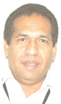
CAPTION; Vincente da Costa Pinto

