Toggle navigation
Home
Wave atlas
Pacific wave atlas
Regional wave climate portal
Wave climate reports
Wave energy
Local wave atlas
South Viti Levu,Fiji
Rarotonga, Cook Islands
Samoa
Tongatapu, Tonga
Funafuti, Tuvalu
Efate, Vanuatu
Wave hazards
Wave Hazards
Demonstration wave forecast for Fiji
Shoreline changes
Severe Tropical Cyclone Winston Inundation
Infragravity Waves
Inundation modelling
Field sites
Fatato, Funafuti, Tuvalu
Maui Bay, Viti Levu, Fiji
Wave climate change
Regional wave climate change
Local wave atlas
South Viti Levu,Fiji
Rarotonga, Cook Islands
Samoa
Tongatapu, Tonga
Efate, Vanuatu
Contact
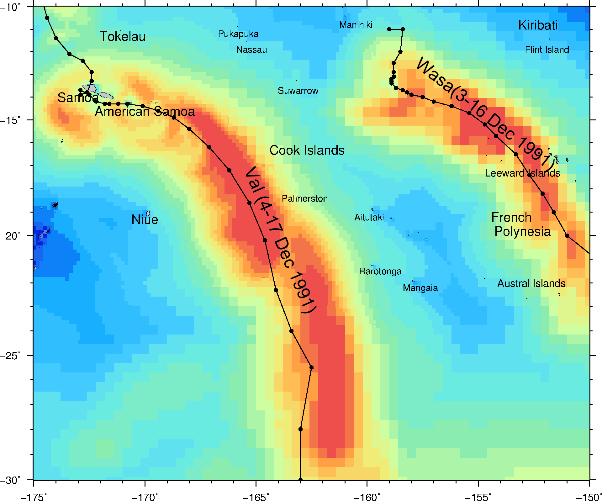
Rarotonga Wave Atlas - Max Wave heights
This page shows the maximum wave height in the Cook Islands for each year from 1979 to 2009.
1979 - 1989
1979
1980
1981
1982
1983
1984
1985
1986
1987
1988
1989
Previous
Next
Significant wave height [m]
1990 - 2000
1990
1991
1992
1993
1994
1995
1996
1997
1998
1999
2000
Previous
Next
Significant wave height [m]
2001 - 2010
2001
2002
2003
2004
2005
2006
2007
2008
2009
2010
Previous
Next
Significant wave height [m]